 ar
ar bg
bg hr
hr cs
cs da
da nl
nl fi
fi fr
fr de
de el
el hi
hi it
it ko
ko no
no pl
pl pt
pt ro
ro ru
ru es
es sv
sv tl
tl iw
iw id
id lv
lv lt
lt sr
sr sk
sk sl
sl uk
uk vi
vi et
et hu
hu th
th tr
tr fa
fa ms
ms hy
hy ka
ka ur
ur bn
bn mn
mn ta
ta kk
kk uz
uz ku
ku
gps data loggers
Kingmach gps data loggers are useful because different project phases need different data behavior. During installation, technicians need immediate values, sensor checks, and wiring confirmation. During construction, supervisors may need frequent records that reflect loading, excavation, pouring, rainfall, traffic, or blasting. During operation, owners may need stable long-term acquisition with clear handover records. A readout supports fast field interaction, while a logger supports continuity. Wireless acquisition reduces the need for repeated site visits when access is difficult. Dynamic instruments support short events where timing and channel synchronization affect interpretation. A complete device plan should define who checks the data, how abnormal readings are confirmed, and where raw and reviewed records are stored. The plan should also show how the acquisition method changes as the project matures. A temporary test may need portable equipment and immediate export, while a long-term station may need battery review, remote upload, and maintenance notes. This phase-based view helps owners avoid using one data method for every task. It also makes acceptance easier because each project phase has a clear data purpose, review method, and responsible team. That clarity reduces uncertainty when monitoring moves from contractor control to owner operation. safely and consistently. for everyone. on site. clearly.
Application of gps data loggers
Slope and foundation pit monitoring uses Kingmach gps data loggers to keep displacement, load, pore pressure, rainfall, tilt, and structural response records organized. Field crews may use readouts to check sensors during excavation stages, anchor tensioning, drainage work, or inspection visits. Wireless loggers are useful when the site needs continuous records through rain, night shifts, or limited access periods. The acquisition interval should match the risk level and the construction stage. If excavation changes quickly, more frequent records may be needed; if the site is stable, routine intervals may be enough. A well-labeled data logger helps engineers compare changes with rainfall, excavation depth, support installation, and site photographs. In foundation pits, the monitoring record should follow construction sequence closely. Excavation depth, support installation, dewatering activity, anchor work, and heavy rainfall can all change the reading pattern. Acquisition equipment should help the team keep these events attached to the correct sensor group. This makes it easier to see whether a change belongs to construction progress, weather, support behavior, or a device issue. It also helps supervisors compare readings before and after excavation steps, temporary loading, rainfall response, and support adjustments without losing the site timeline. across the construction record. for later review. clearly.
The future of gps data loggers
Future Kingmach gps data loggers will support stronger links between acquisition equipment and monitoring platforms. Readouts and loggers will remain physical field devices, but the value of the record increases when data can move into review systems without losing channel identity or site context. Stable export, wireless upload, remote update, and platform naming discipline will become more important. This direction helps owners maintain continuous records across portable checks, fixed stations, dynamic tests, and long-term monitoring dashboards. Platform integration should also protect field meaning. A channel uploaded from a remote logger should still show its structure, sensor type, acquisition interval, and maintenance state inside the review system. If that identity is lost, the dashboard may look complete while the engineering meaning becomes weak. Future acquisition planning should therefore treat device configuration and platform naming as one connected task. This will reduce manual cleanup after data export and improve long-term traceability. for owners. clearly.
Care & Maintenance of gps data loggers
Handover maintenance keeps Kingmach gps data loggers useful after staff changes. A monitoring system may operate for years, but the people who installed it may leave the project. Keep a handover file with device type, sensor list, channel map, acquisition interval, communication method, power plan, baseline readings, maintenance history, and export location. Update the file after repairs, replacements, or setting changes. When the next team can understand the acquisition chain quickly, the project avoids repeated diagnosis and protects the value of long-term monitoring data. Handover should also identify which devices are temporary and which remain part of long-term operation. A temporary logger removed after construction should have final exported files, while a permanent station should keep power, communication, and maintenance routines documented. This prevents old construction records from being confused with active monitoring points. during owner review and maintenance planning. across project phases. clearly and safely. for owners. later on site. consistently.
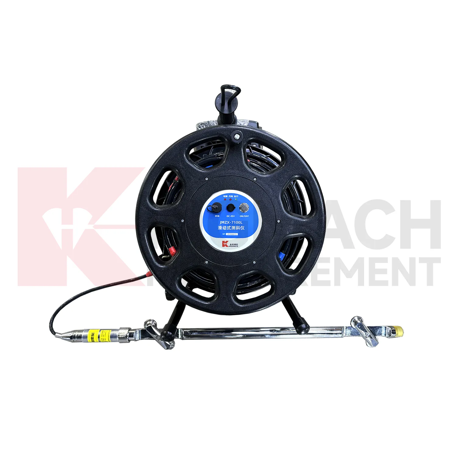
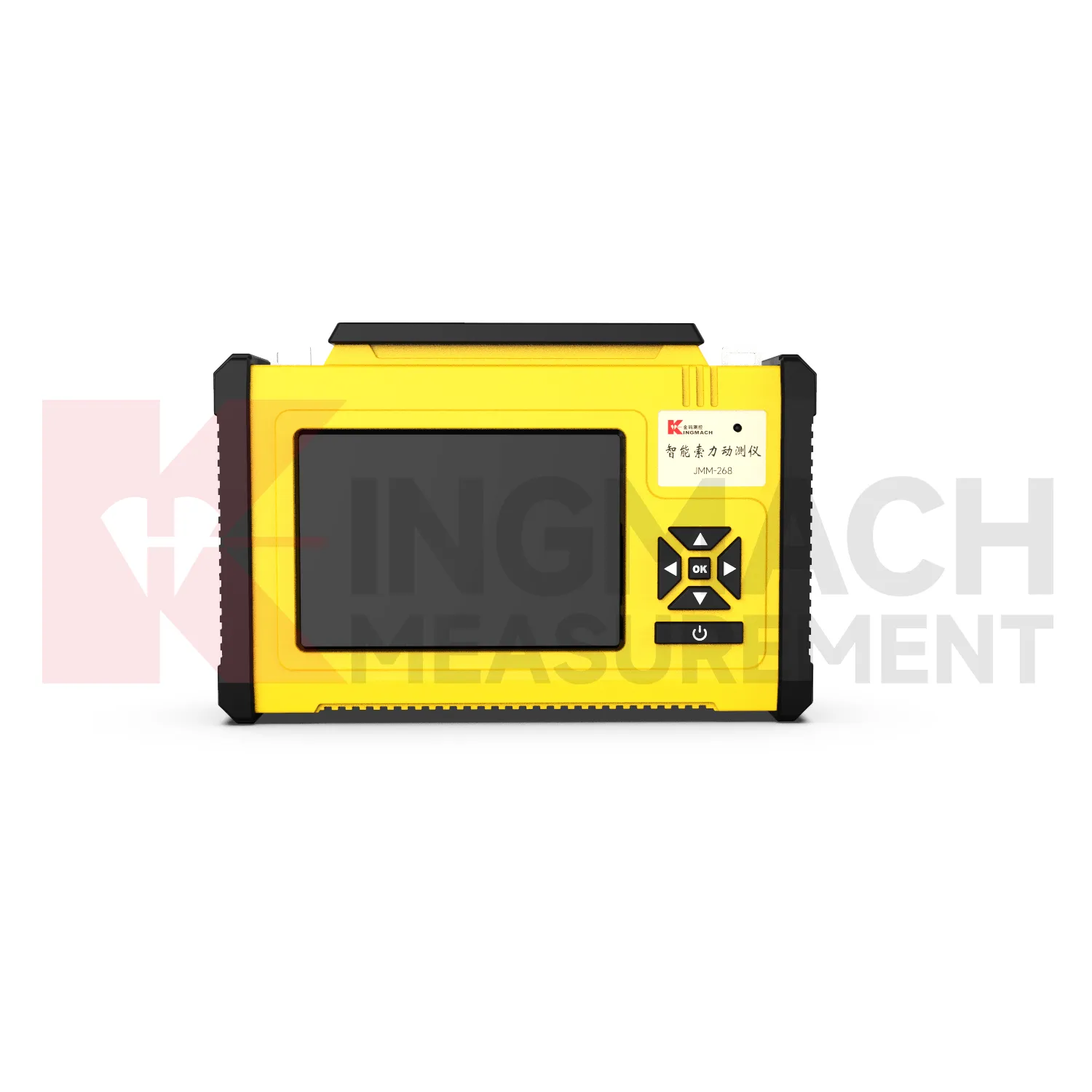
Kingmach gps data loggers
Kingmach gps data loggers connect field instruments with usable monitoring records for structural and geotechnical projects. A sensor may measure strain, displacement, tilt, temperature, vibration, pressure, or water behavior, but the engineering team still needs a dependable way to collect, display, store, and transfer that information. Readouts help technicians verify a point during installation or inspection, while data loggers support automatic acquisition over longer periods. The category is therefore part of the measurement chain, not an accessory afterthought. In bridges, tunnels, slopes, dams, buildings, and foundation pits, the quality of the record depends on channel naming, sensor compatibility, acquisition timing, power stability, communication status, and review discipline. A strong acquisition device keeps the sensor value connected with its physical location and measurement purpose. That connection helps the project team compare trends, review field events, and maintain confidence after the original installation team leaves.
FAQ
Q: Where are these devices used?
A: They are used in bridges, tunnels, dams, slopes, buildings, foundation pits, railways, mines, industrial testing, and other monitoring projects.
Q: Why combine readouts with loggers?
A: Readouts confirm field points during visits, while loggers keep collecting data between visits. Together they support both verification and continuity.
Q: What should a remote station show?
A: A remote station should show acquisition status, last upload time, power condition, active channels, storage condition, and recent maintenance history.
Q: How do these devices support reports?
A: They keep readings traceable by time, channel, sensor type, location, and device status so engineers can explain trends and events more clearly.
Q: What causes confusing readings?
A: Loose cables, wrong channel names, weak power, wet enclosures, changed settings, sensor faults, or real site changes can all create confusing records. The record stays useful when point names, channel labels, sensor type, measurement time, and field condition are kept together, because later reviewers can connect the number with the actual structure and inspection history.
Reviews
Daniel Brown
Excellent environmental monitoring sensors. The data is consistent, and the system integrates smoothly with our existing setup.
Matthew Garcia
Instrumentation cables are durable and perform well even in harsh environments. Will definitely order again.
Latest Inquiries
To protect the privacy of our buyers, only public service email domains like Gmail, Yahoo, and MSN will be displayed. Additionally, only a limited portion of the inquiry content will be shown.
Mia***@gmail.comNetherlands
Dear team, we are interested in your readouts & data loggers compatible with multiple sensors. Do yo...
Harper***@gmail.comIndia
Dear Sir, we are planning to procure a complete monitoring system including strain gauges, tiltmeter...
Related product categories
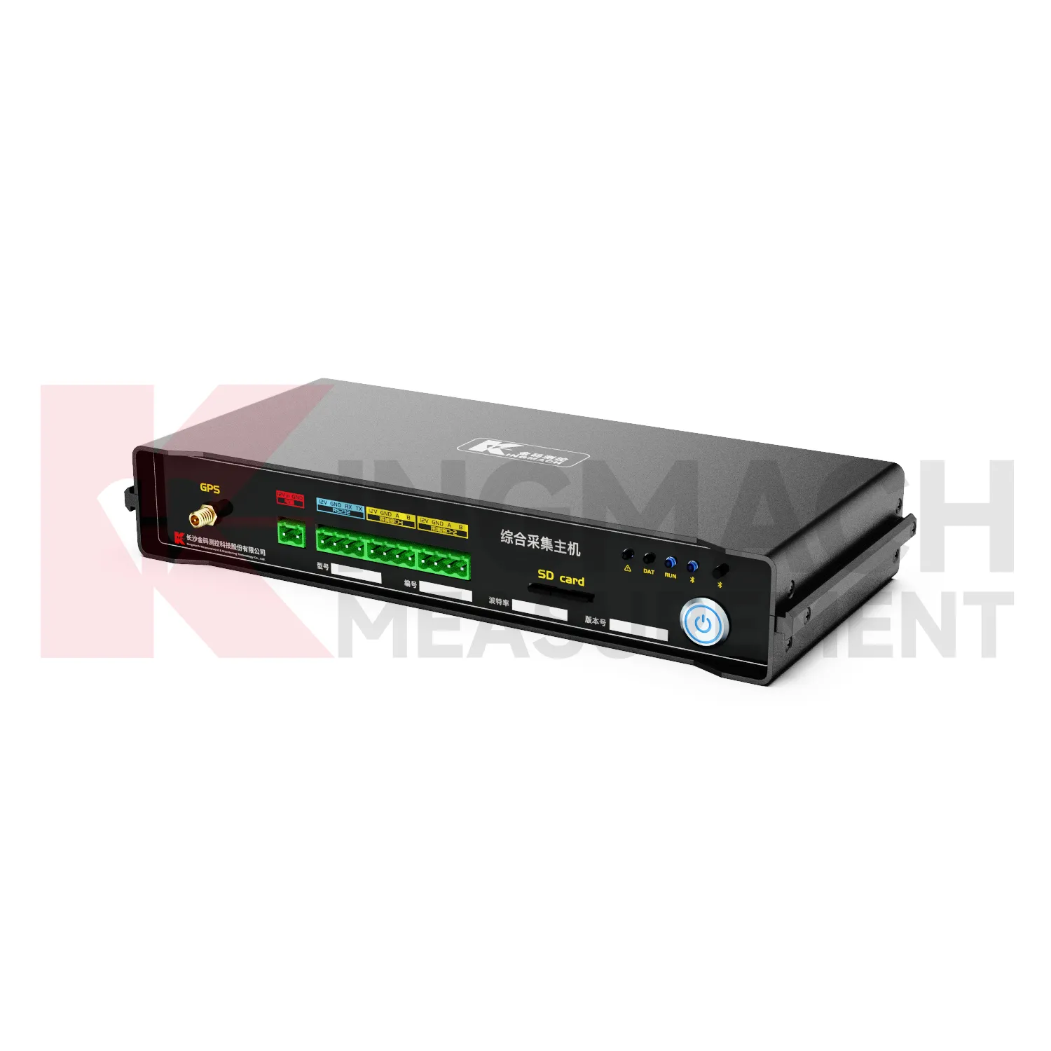
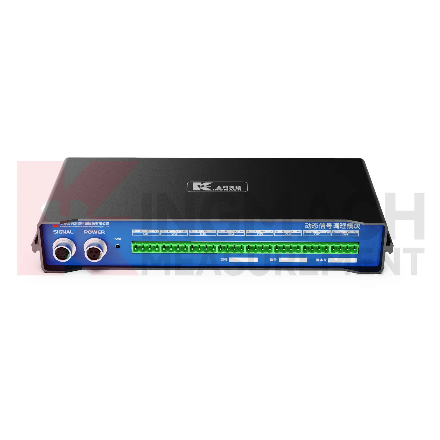
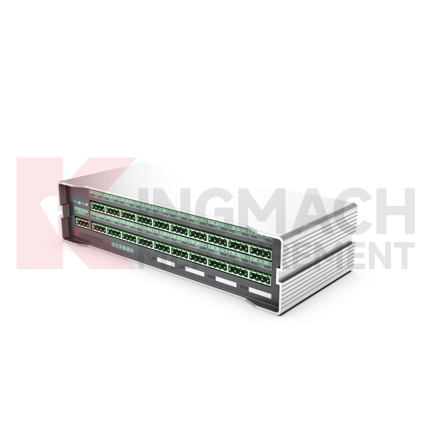
- Integrated Comprehensive Acquisition Module
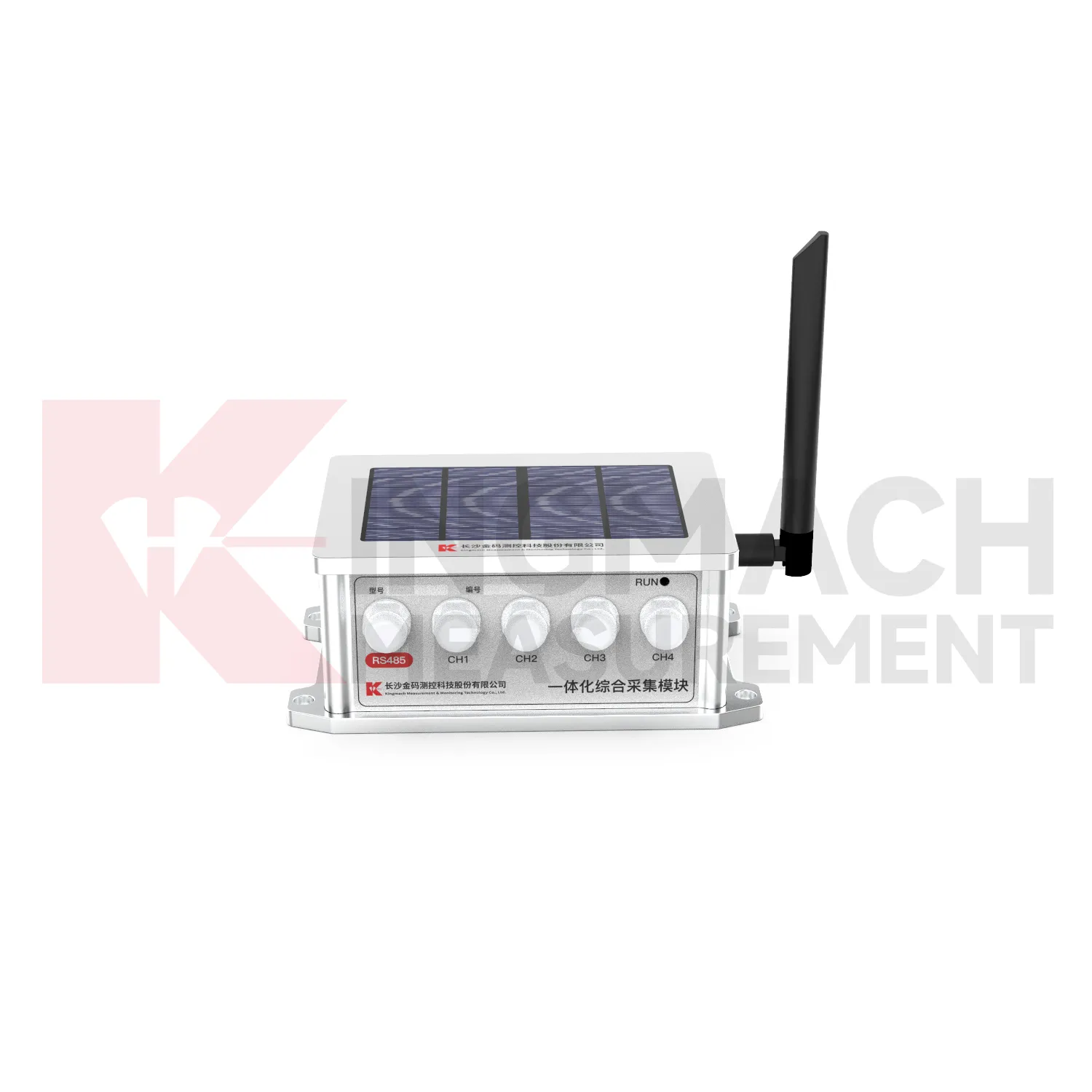
- Wireless Data Logger (low power consumption design)
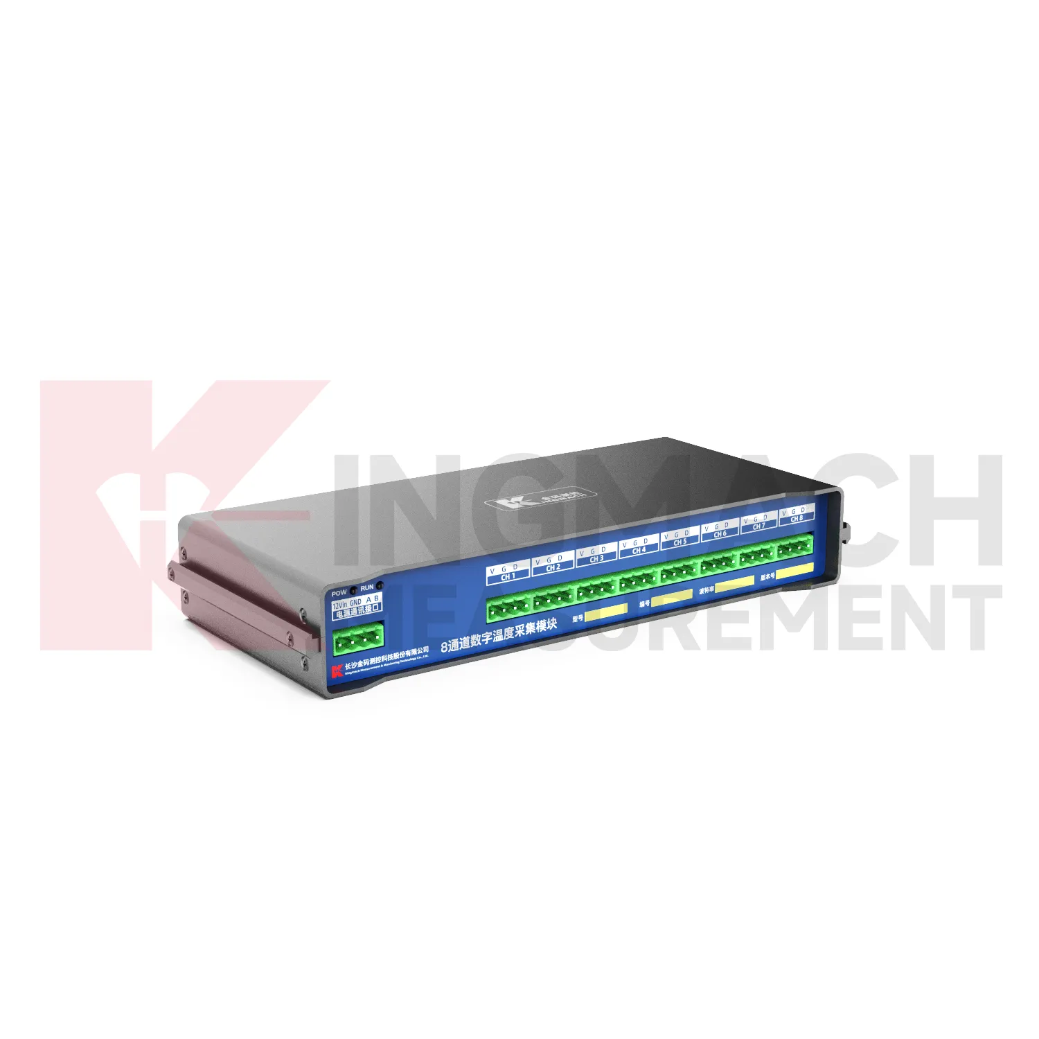
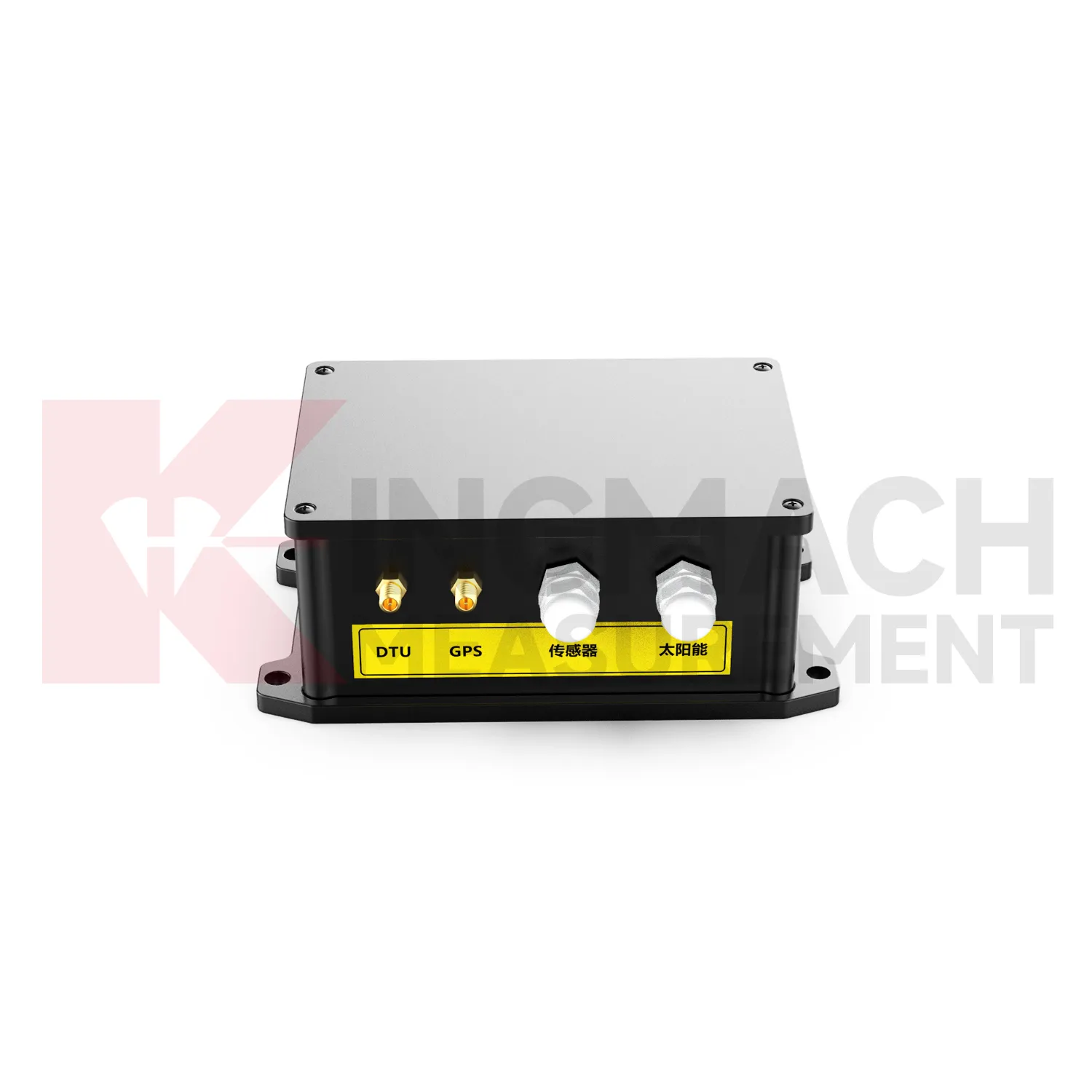
- Data Loggers
- jointmeters
- Communication Systems
- Software Platform
- Survey Equipment
- Data management software
- Monitoring Software Suite
- Groundwater modeling software
- Data Acquisition Systems
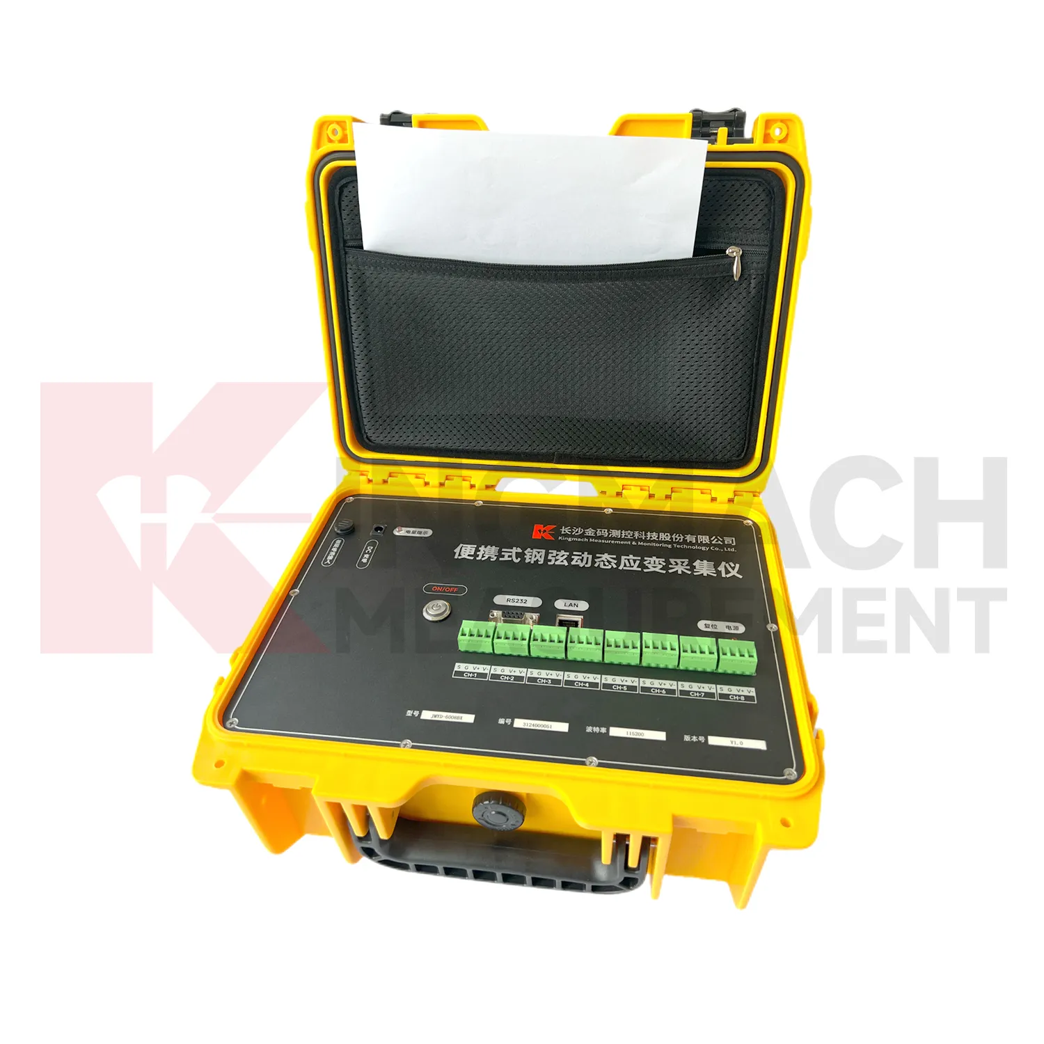
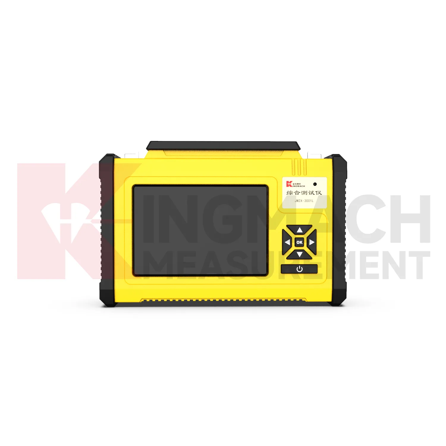
- Portable Vibrating Wire Dynamic Strain Data Logger